Geographic Information System
From the field to the maps, we give meaning to your data
What is a GIS?
A geographic information system (GIS) is a tool for collecting, storing, analysing and visualising geographic data. It allows data to be represented in the form of interactive maps, making it easier to understand and take decisions.
The value of GIS is that it allows geographic data to be manipulated more efficiently and accurately than a traditional map. Data can be analysed in a variety of ways, which can help decision-makers understand spatial relationships and trends in geographic data. GIS can be used in many fields, such as urban planning, environment, transport planning, natural resource management, urban design, security and many others.
The difference between a GIS and a map?
A map is a visual representation of geographic information, while a GIS is a computer system that collects, stores and analyses this information. In other words, a map is an end product that can be created from the data stored in a GIS. A map can be used to visualise geographical information, but it does not allow for the same flexibility and analysis possibilities than GIS.
What about geographic information?
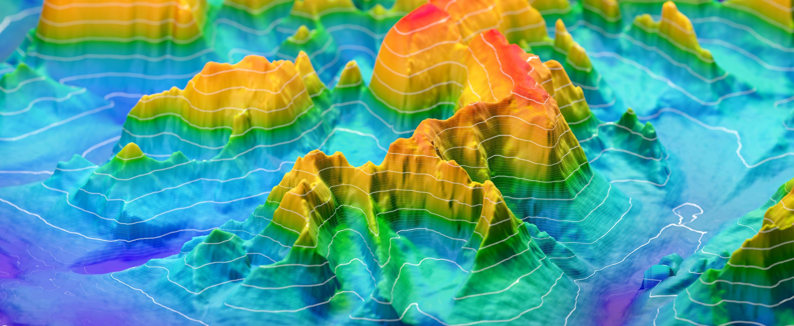
Geographic information is the representation in space of an object or phenomenon, whether real or not. Whether this space is in 2D, 3D, on the ground, underground, above ground, in the air, in space, whether the object or phenomenon is fixed or mobile with a possible temporal dimension… all this can be managed within a GIS!


Specific Products
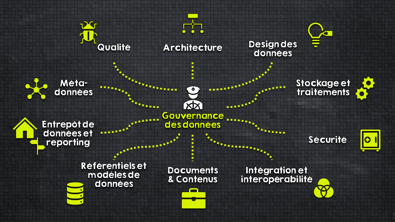
Mastering a GIS takes more than just software — it takes the right expertise.
We deliver technical and functional support across installation, configuration, security, administration, development, training, and every critical element you need to succeed.
OPEN-SOURCE
GIS
Consulting, deployment, expertise, development, training
Products QGis, GeoServer, PostGIS, OpenLayers, Leaflet, etc.

ArcGIS Solution

Consulting, architecture, licences, deployment, support, training, customization
We are specialists in ArcGIS Enterprise, Web, OnLine, Desktop, mobile, etc.

FME

The essential tool for handling geodata.
Consulting, Implementation, Development, Training

OS : Windows Server et Desktop, Linux (CentOS, RedHat, Debian, etc.) , OSx
BD : SqlServer, Oracle, PostgreSql, SQLite, MySQL, Hadoop, MongoDB, MSAccess
GIS ArcGIS : ArcGIS Desktop et Entreprise, ArcGIS Pro, Portal, Experience Builer, Dashboard, Storymap, FieldsMap, Survey123, QuickCapture, Indoors, etc.
Other GIS : QGis, Grass, GeoConcept, AutoCadMap3D, GeoServer, PostGIS, OpenLayers, Leaflet, Lizmap, OpenStreetMap, Google Maps, Google Earth
ETL : FME, Talend, GeoKettle, Python
Linked applications : ERP, CMMS, CAD, Reporting,
All of this augmented by additional developments : Javascript, Java, Kotlin, PHP, Python, C#, VB.Net, C/C++, Fortran, Swift, HTML, SQL, P-SQL, T-SQL