Advanced Sky and Space Technologies

A global vision to better analyze and act

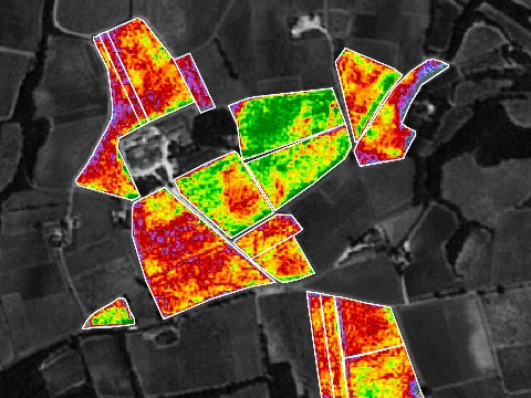
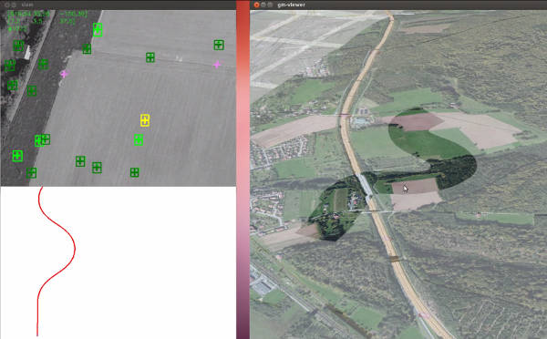
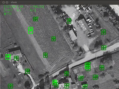
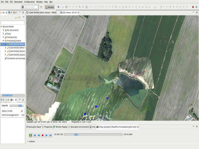
Earth observation services

The emergence of user services for earth observation is one of our major development axes within the framework of Copernic (ex-GMES) and within the broader framework of “integrated applications”. These observation services allow the creation of imagery and analysis based on geospatial data.

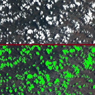
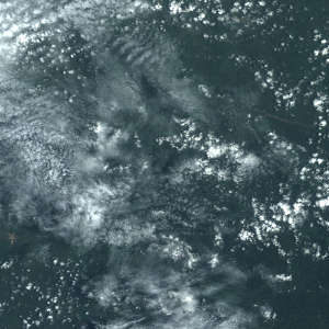
We have recognised expertise in geometric modelling of sensors, which is essential for image projection and ortho-rectified image generation. Our experience in image processing ranges from SAR imaging to high-resolution optical imaging. We offer powerful technical solutions: shape recognition, cloud detection, radiative transfer modelling, image compression, image co-location…

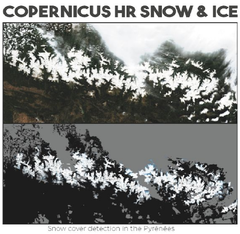
Climate change studies, snow and ice, hydrological modelling, inland water quality, segmentation and classification by deeplearning, cloud detection, fluorescence observation … the fields of application are countless!

Space infrastructure and applications

We have been working and developing our knowledge in the field of space applications and observation for several years. We follow and support the democratization of satellite imagery and its uses in many fields of application (monitoring, prediction, decision support …).

We support our clients from the implementation of visualisation systems and spatial data management to signal processing and remote sensing issues

Our expertise in infrastructures also allows us to take charge of the complete realization of ground sub-systems for the space domain.

ATM applications

We operate in the field of Air Traffic Management in two types of activities:

Project Management Assistance services. Our experts in the field are involved in specification writing, integration of new systems and end-user support.

Development of complex systems used in the field of Air Traffic Control. Our business expertise, combined with our mastery of software development, allows us to take on the development of new systems.

Location based Vision

The principle is to make 3D localisation operational without depending on positioning signals (GNSS denied).

The range of applications covers, for example, the navigation of UAVs and autonomous robots, GNSS redundancy in fixed stations or in flight.

We cover the entire spectrum of skills required from real-time SLAM (Simultaneous Localisation And Mapping) algorithms to multi-sensor hybridisation (inertial unit / camera / GPS).

It should be noted that this technology can come back to earth and be used for the development of augmented reality applications in constrained environments (indoor, basements, etc.)


Let’s go to Mars!

The self-location of a mobile (robot) in an unknown environment is a major issue and challenge in mobile robotics. Our contribution to ExoMars is to develop an efficient method for visual motion estimation based on stereo-vision (VME).

The image processing technology developed makes it possible to calculate elementary displacements between consecutive images and integrate them in order to localise the robot. Experiments show a very good localisation accuracy (relative error < 5%) on a trajectory of 27 metres (120 stereoscopic views).

Contact